posted August 21, 2015 #
This Instagram collection,
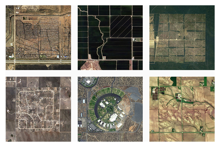
The Jefferson Grid, is loosely based on the idea of the Public Land Survey System that Thomas Jefferson developed to survey large regional areas. A single square mile of a township is called a
Section. This Instagram account takes satellite images of one square mile and presents them beautifully. Look at these
perfect lines or this
insane pattern! It's always remarkable to see our planet from this perspective.
via
Steve