
Invisible Cities
posted February 8, 2011 # 0 Comments
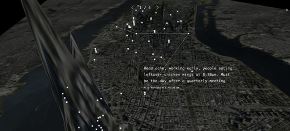
The Invisible Cities project takes all sorts of real-time social data and aggregates it into a terrain based map. The more activity an area has, the more the terrain swells to indicate the hotbed of activity. This video gives a good introduction to the concept and shows off the beta execution. It's interesting to think of this sort of data being used in an area that isn't New York City - would the hotbeds of activity be more obvious? Would the terrain swells in your city be in the same place you predict? Lots of questions come to mind with this.. it's worth a bit of investigation and pondering.
via Courtney.
via Courtney.